CYCLING & HIKING Banyalbufar & surroundings
Banyalbufar A paradise for
nature lovers
Banyalbufar is a privileged destination for nature and outdoor sports lovers. In the surroundings of Hostal Sa Baronia you will find endless cycling and hiking routes of incredible beauty.
Routes that combine sea and mountain landscapes. All of them will allow you to explore the wonderful Serra de Tramuntana, declared a World Heritage Site by UNESCO.
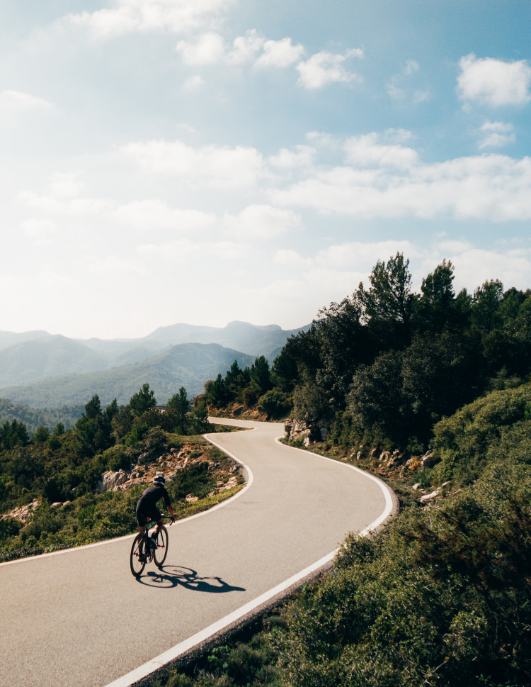
Banyalbufar is the ideal starting point for cycling and hiking enthusiasts with its routes between the sea and the mountains.
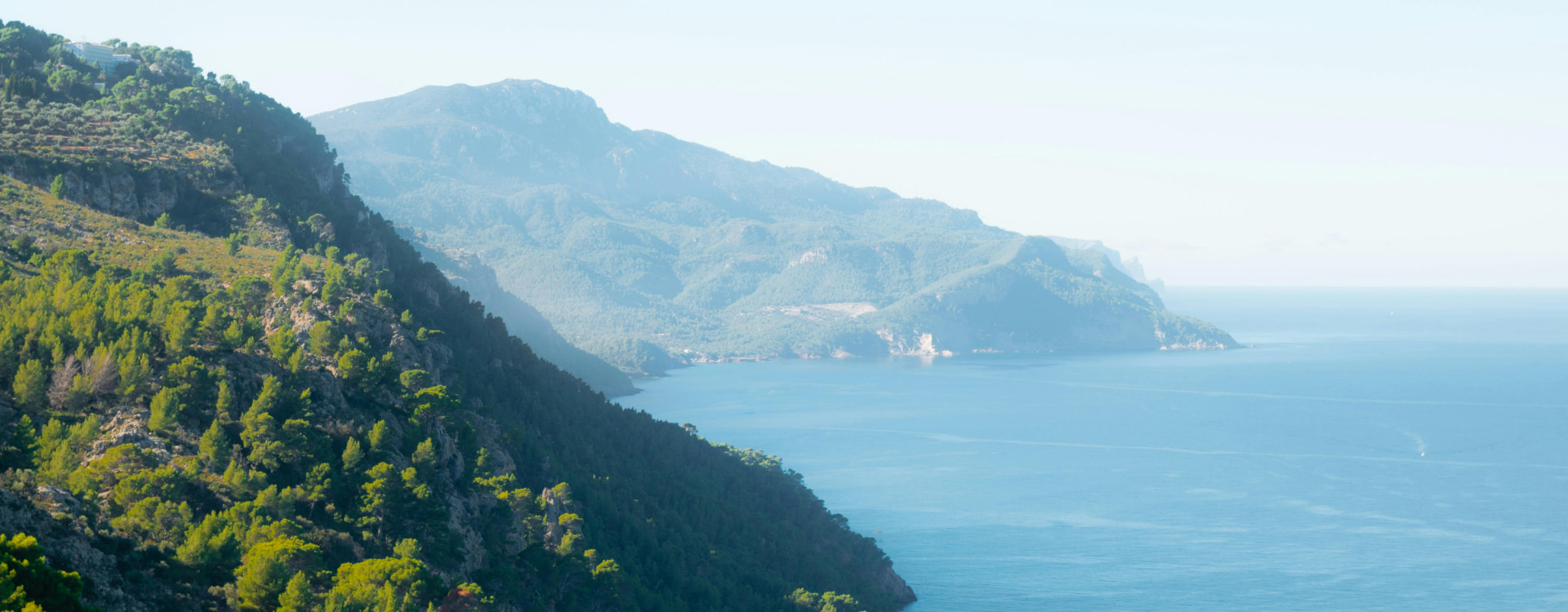
Hiking in Banyalbufar and surroundings
GR 221
The Pedra en Sec route (GR-221) is a long-distance trail which winds all around the Serra de Tramuntana and which attempts to discover the landscapes defined by stone, as well as the traditions and architecture of the islands' geography.
Difficulty: High
Duration: There are around 150 km which are open and signed, half of which form part of the main path which can be divided into four stages, between the Port d'Andratx and Pollença.
Points of interest: The different villages along the way such as Banyalbufar, Soller, Deià, Valldemossa, as well as charcoal makers' huts, lime kilns, snow houses. Our restaurant in Banyalbufar is also a perfect stop after a long walk.
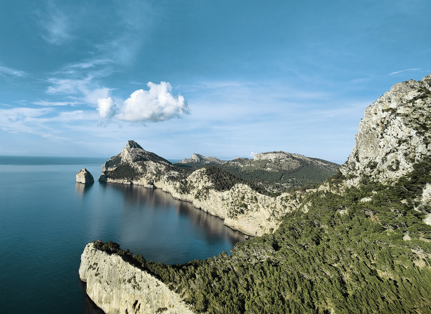
Hostal Sa Baronia is an exceptional accommodation for hikers on the GR221.
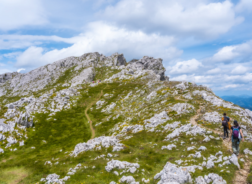
Galatzó
It stands out from the other peaks in the southern part of the mountain range thanks to its pyramid shape. It is a circular trip through forests and with panoramic views over the coast. The trail begins in Estellencs, just seven kilometres from Banyalbufar.
Difficulty: Medium
Duration: Approximately four hours and fifteen minutes
Points of interest: Spectacular views of the Serra de Tramuntanan and mallorca from the top of Puig Galatzó at an altitude of over 1000 metres.
Camí d’es Correu
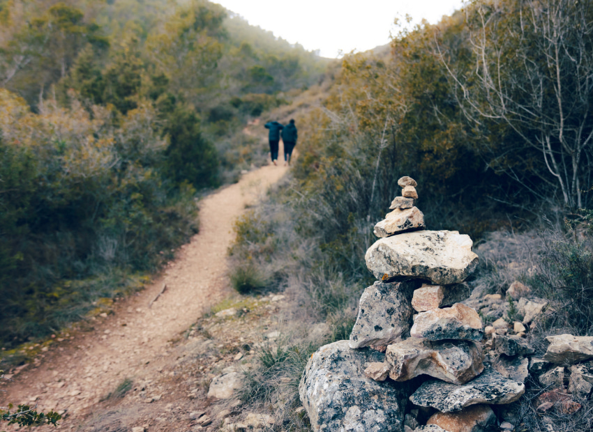
The royal trail with roots going back to 1401 which connects Esporles to Banyalbufar. Until the 19th century, this public way was the only means of communication for the people of Banyalbufar with Esporles. Furthermore, the Banyalbufar-Estellencs section can be walked.
Difficulty: Medium.
Duration: Two hours and fifteen minutes approximately, one way.
Points of interest: Historic path where you can learn more about the flora and landscape of the Serra de Tramuntana.
Sa Volta d’es General from Banyalbufar to Port d’es Canonge
This is an easy excursion that goes from Banyalbufar to Es Port d'es Canonge and takes no more than 70 minutes. On arrival at Es Port d'es Canonge you will find a small cove with an old fishermen's harbour.
Difficulty: Easy
Duration: One hour out, one hour return
Points of interest: Small, uncrowded cove ideal for a refreshing swim after the route.
Planícia
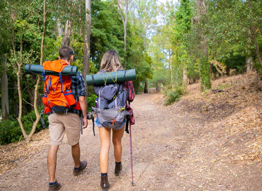
A public estate acquired by the Council of Mallorca which encompasses several trails, such as Sa Font de s’Obi or s’Ajub d’es Cristians.
Difficulty: Medium
Duration: 4 hours and 33 minuts
Points of interest: This is a circular route that runs through different parts of the La Planícia public estate.

Sa Mola de Planícia
This route, which starts at the Granja de Esporles, offers a unique experience for hiking enthusiasts. You will walk along paths that will take you into the heart of the Serra de Tramuntana.
Difficulty: Medium
Duration: Approximately five hours
Places of interest: shelters for the people who burned charcoal, lime furnaces

Cycle touring
in Banyalbufar and surroundings
Andratx - Valldemossa – PalmaNova – Calvià – Palma
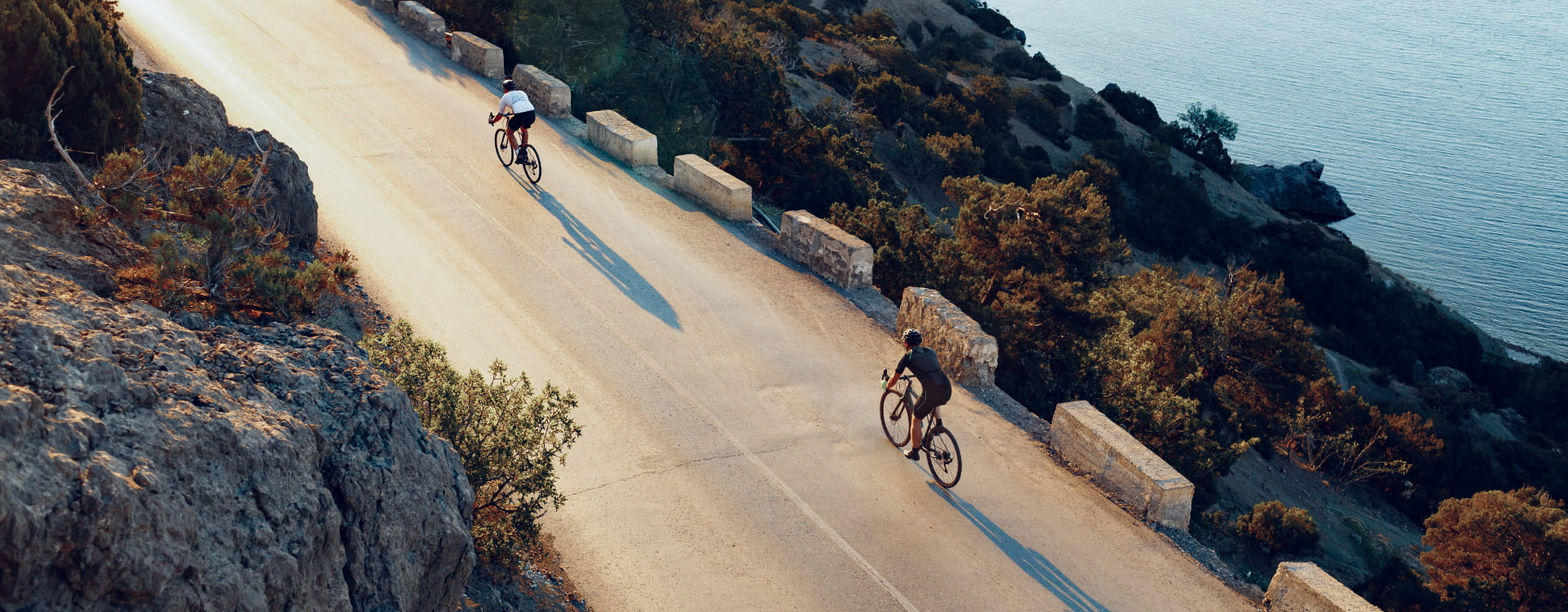
During this route through the southern part of the Serra de Tramuntana you will find roads with exceptional views of the sea in the background.
- Distance: 87 km
- Difficulty: difficult
- Vertical Drop: 1942 m
- Type: road
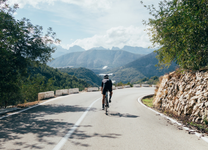
Serra de Tramuntana route
Located in the northwest of Mallorca and declared a Unesco World Heritage Site, this route will take you through the most picturesque villages of the Tramuntana.
- Distance: 109 km
- Difficulty: very difficult
- Vertical Drop: 3098m
- Type: road
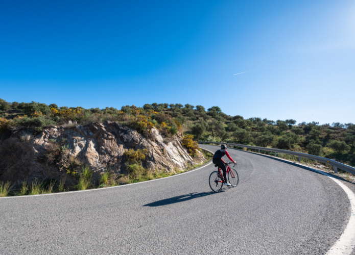
Calvià – Galilea
On this route you will ride along the roads in the south of the Serra de Tramuntana. During this route you can enjoy riding in the middle of nature until you reach Galilea, this picturesque village is the highest village on the island.
- Distance: 68 km
- Difficulty: difficult
- Vertical Drop: 1687m
- Type: road
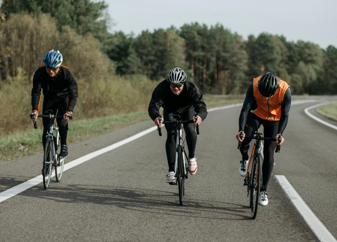
Costa de la Calma – Puig Major
During this route you will crown the highest point of Mallorca, the Puig Major. On this route with spectacular views there is a climb of more than 14 kilometres.
- Distance: 120 km
- Difficulty: very difficult
- Vertical Drop: 3187m
- Type: road
